Review: Garmin GPSMap 78 handheld marine GPS
Does what it’s supposed to but too many tradeoffs

After 15 years of slow but reliable service, my Garmin GPSMap 76CX died. It was time to replace this 15 year old piece of technology with something more up to date. And by “more up to date” I mean 13 year old technology.
Contents
- Full disclosure
- Pros & cons
- What to expect
- What hasn’t changed since the 76CX
- What has changed
- The display
- Connecting to the GPSMap 78
- Owner’s manual and software
- You can use any useful charts, as long as they’re Garmin charts
- Best. Phone Support. Ever.
- Good enough, I guess
Full disclosure
Just so you know, after I wrote this review of the Garmin GPSMap 78, the nice people at Aqua Map paid me to write an (excellent, if I may say) article about using it.
I actually still use my Garmin GPSMap 78, but I find that I’m using Aqua Map more. This is what led me to reach out to Aqua Map about blogging for them as a satisfied customer.
Pros & cons
- Pro: Rugged & water resistant
- Pro: Long battery life
- Pro: Excellent customer support
- Con: Small, low resolution screen
- Con: Slow, clunky user interface
- Con: High price
What to expect
The GPSMap 78 originally came out in 2010. Same high price but less old technology.

What are the differences between the 76 and the 78? Not much, really.
What hasn’t changed since the 76CX
- AA batteries, 2 of’em. For the price, you'd expect built-in lithium rechargeable.
- It still has a USB mini-B socket, antenna socket, and serial port.
- Still sturdy and well-built.
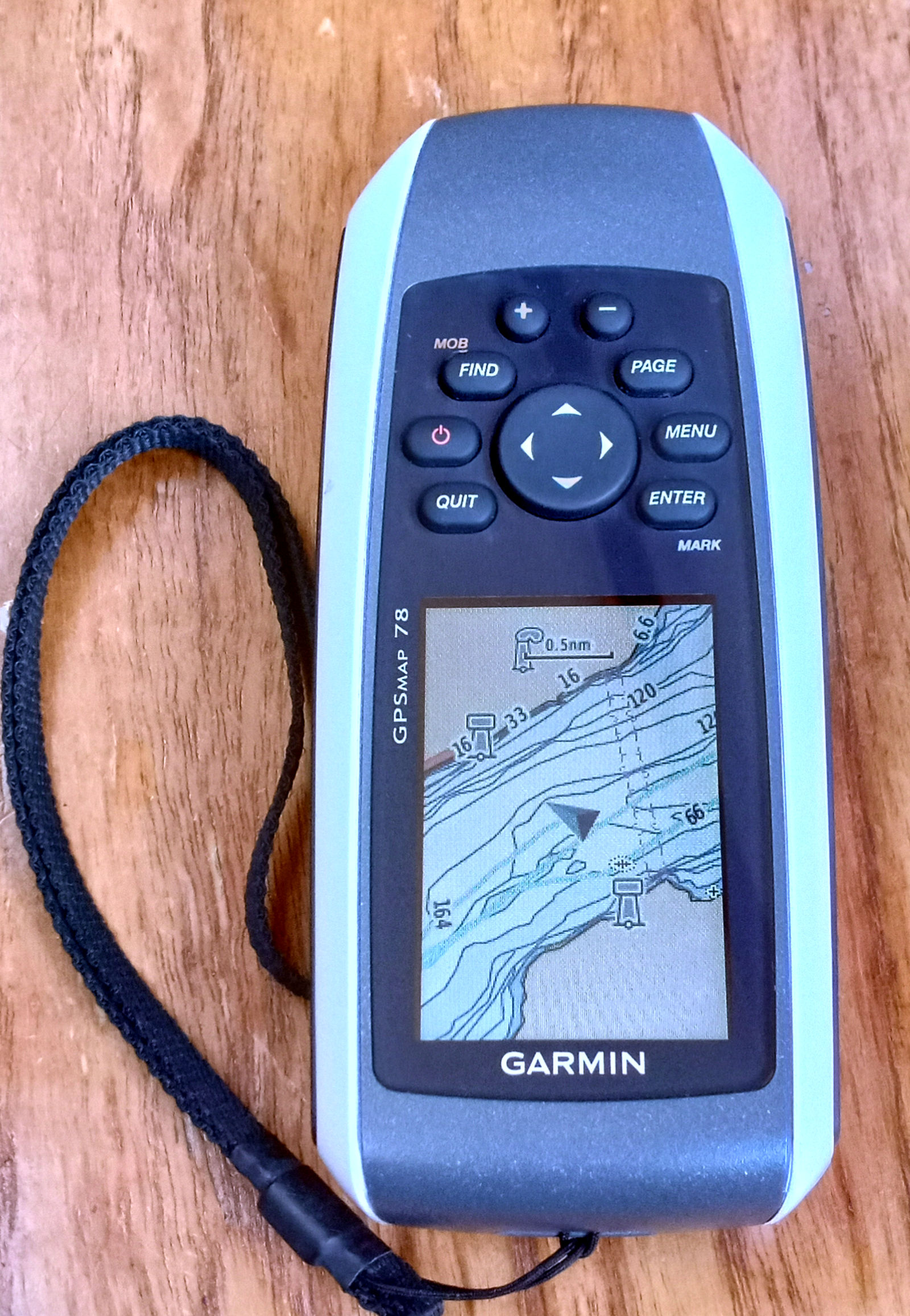
- Still has the weird ergonomics of putting the buttons above the display instead of below the display.
- Still waterproof.
- Same low-resolution LCD display.
What has changed
- More built-in memory, 1.7 GB. But that is effectively a non-difference. Just like the limited memory on the 76CX, the 78 has just enough to store waypoints, routes, and tracks but far from enough to store digital charts. You still need a separate MicroSD card for that. I bought a 16GB microSD card separately. Turns out I needed a 32GB card, which I found out the hard way.
- Screen has a finer colour palette
- Better battery performance. Promises 20 hours, and I got about that.
- The 78 is faster. While still slow generally, it starts up faster and acquires satellites faster. The map view updates less slowly than the 76CX. Response to button presses is faster too.
The display
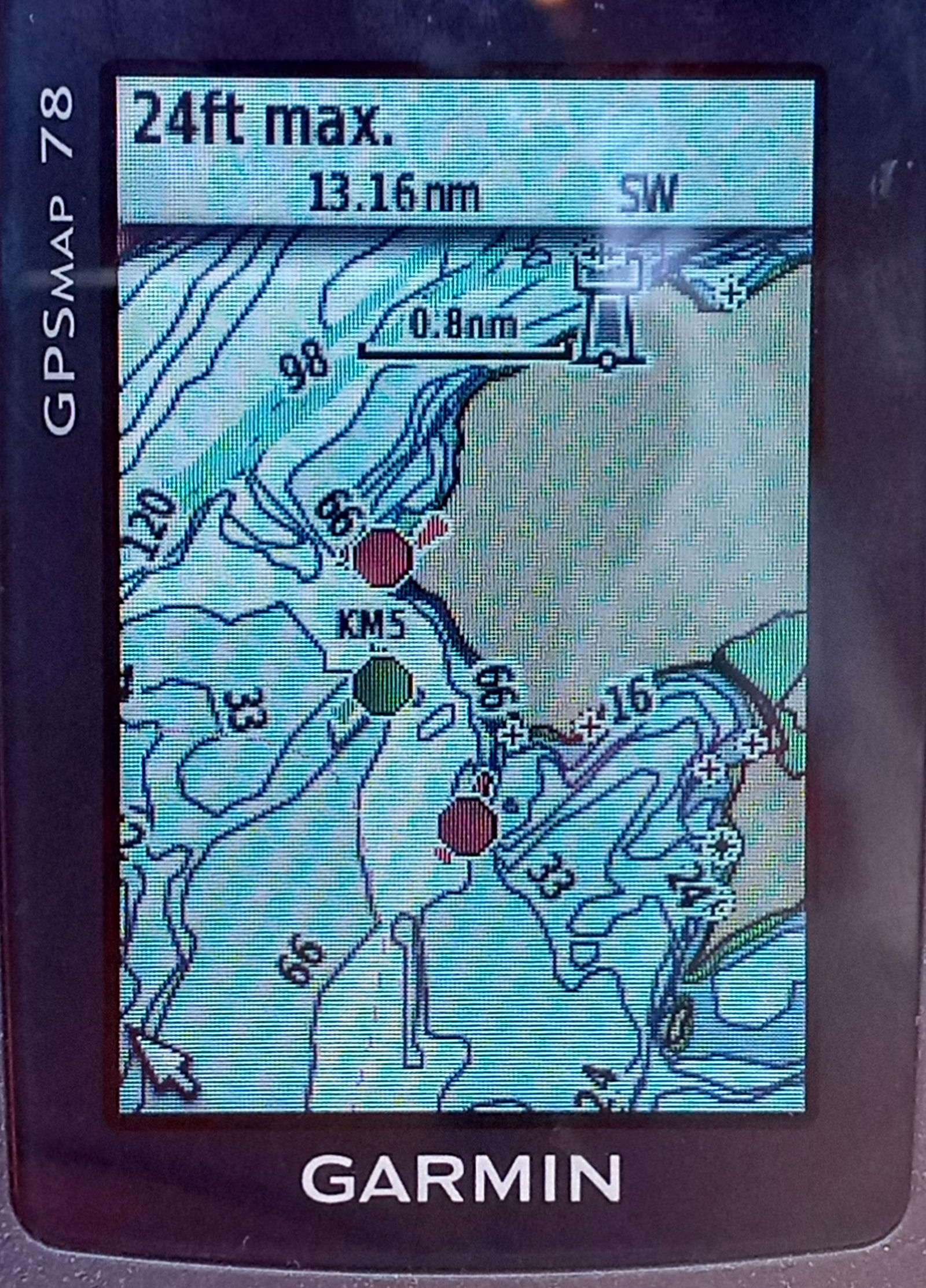
The display is small, only 6.5 cm/2.5 inches diagonally, and low resolution. But it’s reasonably sharp and clear. Unlike your smartphone’s display, the GPSMap 78 is easier to read in bright light. In broad daylight, you don’t even need the backlight, which gives you a bit more time on a battery charge.
Getting to the backlight control is unintuitive: press and hold the power button for a while to control screen brightness.

Connecting to the GPSMap 78
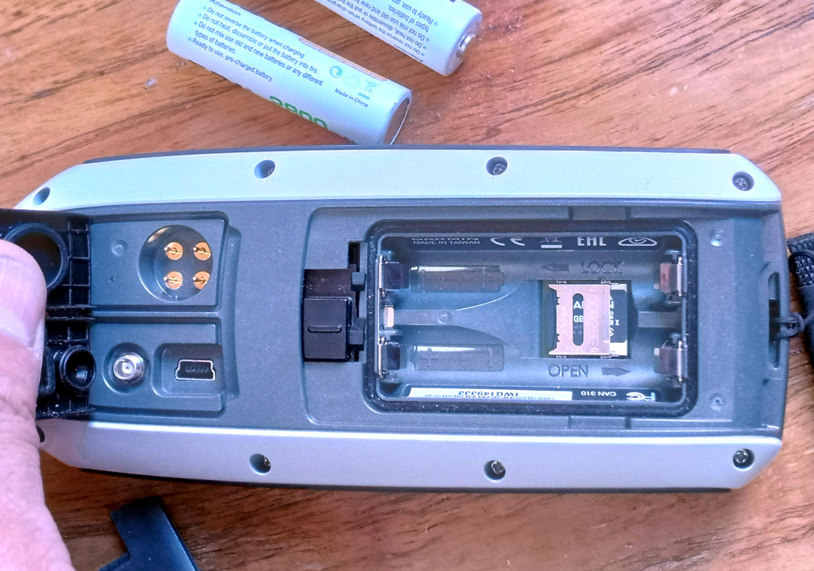
You get sockets for USB mini-B socket, antenna, and serial. Under the batteries you can slip in an SD card. They’re all under waterproof covers.

The USB mini-B is old and rare. If you lose the included cable, you probably don’t have another lying around. If you see one next to the energy drinks at the gas station counter, buy a couple.
The serial port can be configured for NMEA and other connections.
Owner’s manual and software
The Owner’s Manual is terse and incomplete. For example, it omits crucial info about the map formats that it supports.
The manual mentions only the BaseCamp software to manage your device from your laptop or desktop computer. BaseCamp has a bunch of tools to manage maps, waypoints, tracks, routes, and so on.
But Basecamp is incomplete. You can customize it by choosing an Activity like Hiking, Driving, and so on. But marine navigation is conspicuously absent for a device marketed for marine use.
And Basecamp is clunky. Despite the bigger screen, keyboard, and trackpad/mouse on your computer, some tasks are actually easier to do on the device. I find it easier to create routes on my device. Another example: in the Device Information window, clicking the Check for Updates button opens the Garmin support page where you have to find the correct link for your device yourself. I spent too much money to figure out something that should be automatic.
The Owner's Manual doesn't mention Express software, another desktop app to manage your device. Express actually does the things that Basecamp doesn’t, like firmware updates.
You can use any useful charts, as long as they’re Garmin charts
You're pretty much locked in to Garmin’s nautical charts. And they aren’t cheap. And the only practical choice for most sailors is to use the even more expensive subscription.
As far as I can tell, there is something called Custom Maps, which is just a dismal feature for a small JPG file with geographical info in the form of KML.
I could be wrong about this because the BaseCamp online help is unclear. And the steps to create a custom map requires you to to download a 3rd party app to generate the KML info. Neither BaseCamp nor Express have features to do this.
Finding the right nautical charts is confusing. Navigating the choices (see what I did there?) and device compatibility on the Garmin online store takes time. For charts of the Great Lakes in Canada, I spent about 20 minutes before I chose what seems to be what I need. Even then I’m still not sure if I should have chosen a different digital chart. The BaseCamp software has a command to buy maps online but it just opens a tab in your web browser for the main Garmin page, again leaving me to navigate (ha!) the web page myself.
Buying digital charts from Garmin gives you the choice of waiting for the delivery of a physical microSD card with preloaded charts or download the charts yourself.
Speaking of waiting, downloading and installing at a marina with typical marina wifi performance (where “performance” means “a bit faster than a dial-up connection”) meant keeping my GPSMap 78 device on and plugged into my laptop for 10 hours (!) while Express takes its sweet time. Way to ignore that sailors have spotty online access, Garmin. At least the device is powered by USB while it’s plugged in. If you’re using a laptop, make sure it’s plugged into shore power.
For no obvious reason, Express won’t download a purchased chart onto your laptop unless a Garmin device is on and plugged into it.
And whatever you do, for the love off all beauty in this world, do not quit the Express app or let you computer go to sleep then expect Express to resume downloading your charts later. You’ll have to start over.
Despite several tries, I couldn’t get it downloaded. I contacted the Garmin support via chat. They told me it’s probably the SD card I bought. Back to store, another $30.
I still couldn’t get it downloaded. I contacted Garmin chat support again. This time I asked for an exchange for the preloaded SD card. They told me to call.
I called.
Best.
Phone Support.
Ever.
Before I even finished explaining my problem, the kind support person was already suggesting an exchange for an SD card. She put me on hold for about a minute then proposed something even better: she would give me a refund for my digital chart and recommended gpscity.ca, a third-party retailer that’s closer to Montreal with a lower price for a pre-loaded SD card.
Good enough, I guess
Yes, the Garmin GPSMap 78 does what it’s supposed to. It is indeed waterproof, with a long battery life, and it does its job competently despite its outdated, clunky user interface. But man alive, does Garmin enjoy charging a shitload of cash for a confusing, frustrating experience to set it up.
Garmin has discontinued the 78 and replaced it with the GPSMap 79. Unfortunately, this “latest” generation continues the pattern of a tiny update to its specs with an outsized price.
At your service
Humbly yours,
Marc, Supreme Purser